
 Brij Khandelwal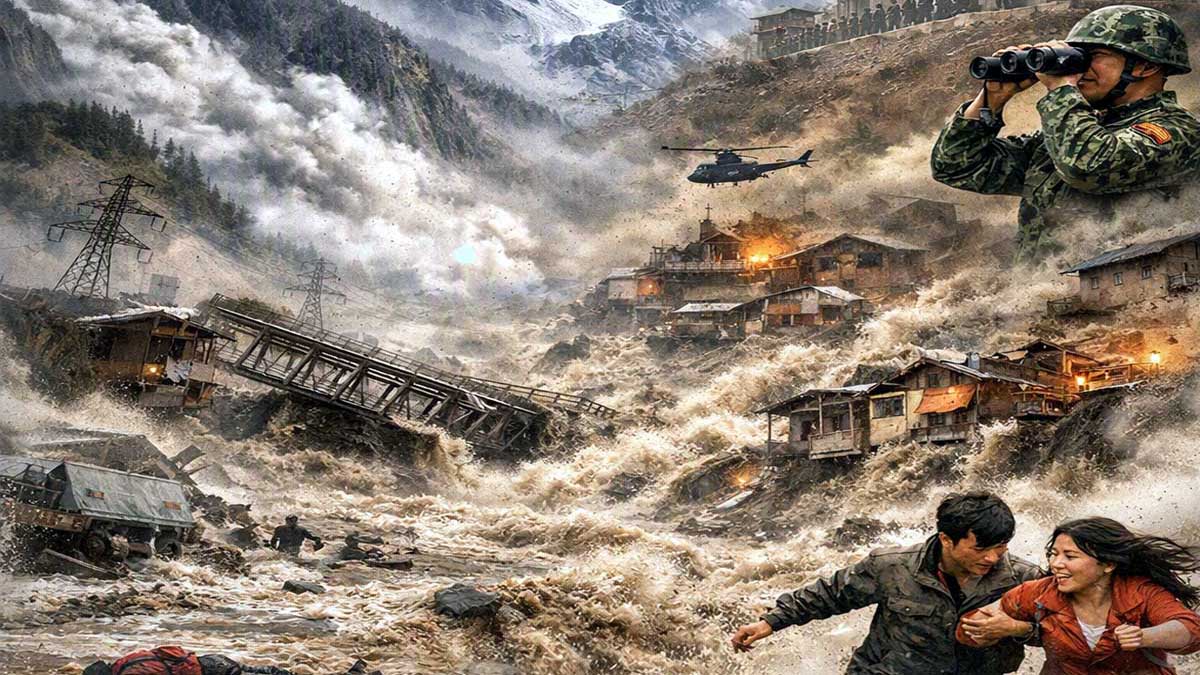
A devastating flash flood and mudslide struck the Nepal-Tibet border on 26 August after a high-altitude glacier section collapsed. Part of a glacier broke away near 5,200 metres, generating an ice-rock avalanche that struck the Lhende River, the Bhotekoshi, in Nepal, roughly 20 kilometres northeast of the Rasuwagadhi-Gyirong border crossing. Debris temporarily dammed the river before releasing a powerful surge of water, mud and rock downstream.
The disaster affected Nepal’s Rasuwa and Nuwakot districts, including Syabrubesi, and China’s Gyirong County. Confirmed deaths exceed 1360, with hundreds to more than a thousand people reported missing across both sides of the border, including many foreign tourists and pilgrims. Villages, bridges, roads and infrastructure were destroyed. Rescue efforts continue under the threat of further flooding.
Also read: हिमालय में मंडराता खतरा, चीन की हरकतों से रहना होगा सावधान
This is not simply a natural calamity. It is a warning signal about the mounting risks created by extensive infrastructure development in one of the world’s most fragile mountain systems.
For years, China has driven large-scale road building, military installations, tunnels, barrages and hydropower projects across the high Himalayas along its borders with India and Nepal. These works have altered slopes, river courses and sediment regimes in a region already under tectonic and climatic stress. Beijing has repeatedly downplayed scientific warnings and the downstream implications of its activities.
In 1978, I examined the controversy over the Tehri Dam and warned of the dangers of siting mega-projects in the Himalayan ranges. The benefits: water, power and development, were real. Yet they had to be weighed against ecological disaster and security risks in a seismically active zone near the Chinese border.
Critics noted that a major earthquake or other failure could send catastrophic floods into the plains of northern India. The same fundamental question remains: are the promised gains worth the environmental, geological and human costs of heavy engineering in mountains still adjusting to powerful tectonic forces?
Geologists have long described the Himalayas as a weak and active segment of the Earth’s crust, characterised by ongoing uplift, faults and stresses.
Upper Shivalik slopes with clay and sand layers present particular stability problems. Engineering works can disturb mountain ecology, while the rapid rise of the range and continuing seismic activity underline its inherent instability. Landslides, avalanches, flash floods and earthquakes therefore make large dams and reservoirs especially hazardous. These assessments are not new; they form a consistent body of caution that has accompanied major construction proposals for decades.
China has largely set that caution aside. Independent researchers have warned of the potential for cascading disasters if reservoirs fail or glacial lakes burst.
Heavy excavation, tunnelling and reservoir loading can destabilise slopes and alter sensitive water systems. Yet construction has proceeded, often with limited transparency toward downstream neighbours. When the glacier section collapsed this week, the resulting surge moved through a landscape already modified by years of upstream activity. The precise trigger appears to have been a natural ice-rock avalanche, possibly linked to a seismic signal later reassessed as related to the collapse itself. Still, extensive development raises the background level of risk in an environment where small disturbances can produce outsized consequences.
The same pattern appears further east. China is advancing a major hydropower project on the Yarlung Tsangpo, Brahmaputra, in India, planned on a scale larger than the Three Gorges Dam. An active fault has been identified near the site.
Should a major earthquake or other failure affect the structure, large areas of Northeast India and Bangladesh would face severe flooding.
Downstream governments have raised concerns; Beijing has continued construction while minimising public discussion of seismic vulnerability and transboundary impacts. This approach treats a shared river system primarily as a domestic resource rather than a regionally consequential one.
The Nepal-Tibet disaster of 26 August therefore carries a wider message. China’s rapid, high-altitude infrastructure programme has heightened vulnerability across a fragile mountain belt.
By underplaying the threats flagged by geologists and downstream communities, and by prioritising strategic and energy ambitions over restraint, Beijing has increased the probability of further high-impact events. Climate-driven glacial change compounds the danger; poorly sited heavy engineering multiplies it.
Regional governments, scientific bodies and downstream populations need greater transparency on Chinese projects, independent monitoring of glacial lakes and unstable slopes, and meaningful restraint on further mega-construction in the highest-risk zones. The alternative is a pattern of repeated, partly preventable tragedies.
The lives lost and communities erased this week should not be treated as unavoidable misfortune. They reflect choices made in a landscape whose instability has been documented for generations, and whose warning signs are being ignored at growing human cost.
Related Items
Can a city die of thirst while a river flows past its doorstep!
Desert bacteria ride in the wind to affect health in the Himalayas
India transitions towards a high-growth and resilient economy